First Stage
Distance: 18,5 km
Time: 7 h
Max elevation: 1.060 m
Min elevation: 420 m
Elevation gain: 2.010 m
Elevation loss: 2.160 m
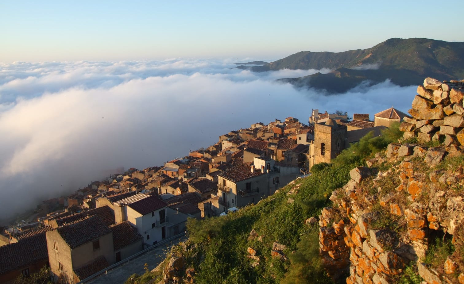
After leaving the historic center of San Mauro, follow the path that leads to the pine forest of Colle Calandra for about 3 kilometres, until you arrive on the SP 52 bis at the watering hole in the Comuni district. Continue to the right to descend towards the Malia district, following a road that was first dirt and then asphalted, until you reach the SP 60 after about 3 km, near the district of the same name. The small village can be visited by making a short detour of about 300 meters to admire an ancient watering hole, a centuries-old manna ash tree, over 400 years old, and the remains of a water mill. In the direction of the sea, however, one kilometer away you come across another small village linked to peasant culture, that of Botindari. In this area you can also encounter numerous centuries-old olive trees and following the state road up to the Malia bridge, on the left, you can see the longest-lived olive tree recorded on the Madonie with its 1,800 years of age. The route continues on the SP 60 for 1.7 km, up to the Calabrò crossroads. From here it continues left for 2 km on a dirt road until reaching the river, and then goes up towards Gangi. The route follows the path that crosses the Montededero, Rainò, Celso and Pascovaglio districts, before reaching the town center of Gangi.
Download GPX track
Second Stage
Time: 4 h
Max elevation: 980 m
Min elevation: 600 m
Elevation gain: 370 m
Elevation loss: 620 m
Time: 6 h
Max elevation: 980 m
Min elevation: 560 m
Elevation gain: 580 m
Elevation loss: 820 m
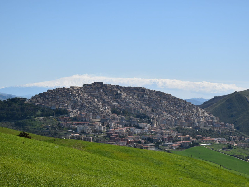
The itinerary from Gangi follows the SS 120 delle Madonie for about 2 km up to a watering hole; from here the route continues to the right in the Soprano district, with a climb. Continue for about 10 km on a flat, asphalted municipal road, around 900 meters above sea level in the Zimmara district. Subsequently, the road becomes dirt for 4 km, and you pass from the province of Palermo to that of Enna. We continue descending into the valley up to 600 meters above sea level, following a secondary asphalted country road, before the last climb, of around 150 meters in altitude, to reach the castle of the small village of Sperlinga, built on the rock that overlooks the 'inhabited. Anyone wishing to continue on the same day to Nicosia still has to face another 6 km on an alternating route between asphalt and dirt, or directly following the SS 120. See the PDF
Download GPX track
Third Stage
Time: 7 h
Max elevation: 1.100 m
Min elevation: 560 m
Elevation gain: 970 m
Elevation loss: 590 m
Time: 5 h
Max elevation: 1.100 m
Min elevation: 650 m
Elevation gain: 770 m
Elevation loss: 390 m
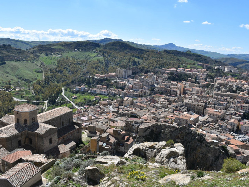
Those leaving from Sperlinga must first reach Nicosia, traveling 6 km along the SS 120, or following an alternative route between asphalt and dirt roads. From the town center of Nicosia, continue on the SS 120, for about 7 km, until you reach the provincial road that connects the SS 120 with the SS 117 for Mistretta. From this point, on the left, continue along the regia trazzera to Capizzi, descending for about 3 km to the Calogno stream. Here from the province of Enna we move on to that of Messina, to begin a challenging climb of 5 km, with a difference in altitude of approximately 450 metres, until reaching Capizzi, in the Messina area, at 1,100 meters above sea level. See the PDF
Download GPX track
Fourth Stage
Distance: 25 Km
Time: 7 h 30 m
Max elevation: 1.520 m
Min elevation: 1.070 m
Elevation gain: 740 m
Elevation loss: 580 m
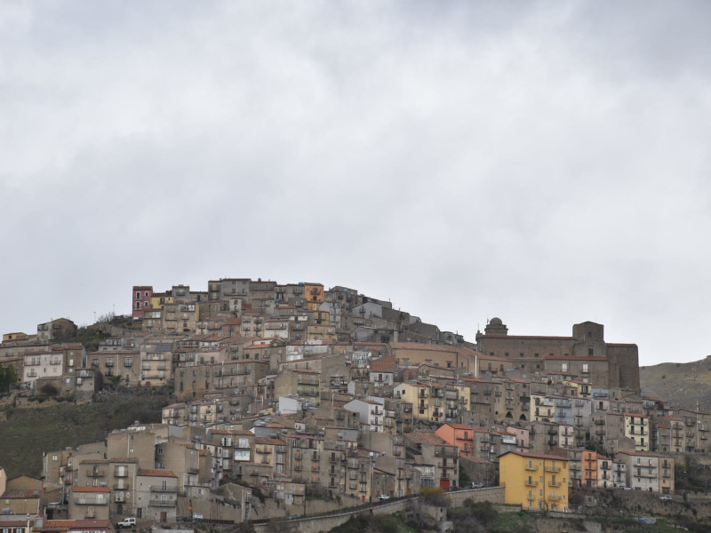
We start from Capizzi to reach the former barracks of the Sambuchello field guards of the Azienda Speciale Silvo Pastorale of Troina. This is the only day in which you spend the night in the middle of the woods in a tent or using the services of the former barracks which, once the restoration works are completed, will be an accommodation facility with 24 beds. Leaving the municipality of Messina, continue for 8 km along the SP 168 to Caronia up to km 32, where on the right you intersect the Nebrodi ridge which you follow for 15 km, up to Portella Scarno in the Cesarò territory. The route exceeds 1,500 meters above sea level and you find yourself immersed in a dense forest among downy oaks, oaks, maples, beeches and other varieties of the undergrowth. Along the route, after 13 km, you come across the Nocita equipped area, with a water point, followed by the former barracks of the Mafauda field guards, now used as a refuge. From Portella Scarno to the Sambuchello former barracks, which marks the end of the stage, there are less than two kilometers to go, along a downhill stretch.
Download GPX track
Fifth Stage
Distance: 22 Km
Time: 6 h 30 m
Max elevation: 1.510 m
Min elevation: 1.160 m
Elevation gain: 570 m
Elevation loss: 670 m
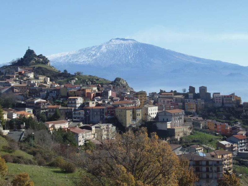
After leaving the barracks in the Sambuchello district, travel about 4 km and cross the area of the springs (Fontana Bianca, Malpertusa, Canalotto and Fau) of the old Troina aqueduct, turn right into the Ambolà district and start climbing towards the mountain of the same name , up to exceeding 1,500 meters. Going down the hill, continue through the Solazzo district for 4 km, until you reach Piano delle Case, the place where the clash between the Candino gang and the Leanza family took place. Continue downhill for 4 km, up to the state road that connects Cesarò with San Fratello at km 42, in Piano della Cicogna, where there is an equipped area. To reach Cesarò there are still 8 kilometers to go, some of which must be covered on the provincial road and others following a parallel dirt road. There are two other possibilities to reach the Nebroid centre: following the state road or the variant that passes through San Teodoro. The two municipalities are almost adjacent as they are only one kilometer apart. The route ends at the cemetery where an epitaph commemorates the destruction of the Maurina band by the Leanzas.
Download GPX track
The Journey
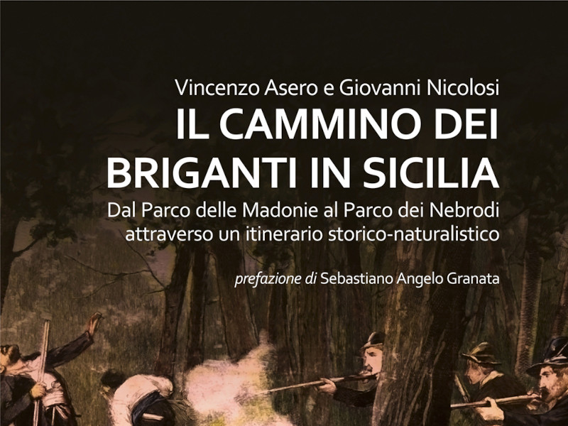
Title: Il cammino dei briganti in Sicilia
Publisher: Bonfirraro Editore
Authors: Giovanni Nicolosi, Vincenzo Asero
Pages: 160
Year: 2024
"The work of Vincenzo Asero and Giovanni Nicolosi
returns an original reading of Maurino banditry
through the rediscovery of places that
they were its cradle and context. It doesn't seem like a coincidence, after all,
if the memory of the brigands who populated Sicily
western, and specifically the Madonie area, both
still today characterized by its spatial identity
precisely from the name, which follows that of the municipality of
San Mauro Castelverde, in the province of Palermo, from
which the gangs started.
What the two authors propose in these pages
it is a historical-naturalistic itinerary that follows the movements
of the robbers, focuses on their hiding places,
explore the locations of massacres and massacres, the areas of raids, the streets
of escape and the ravines of rest; a journey that tells
events and protagonists as it winds through the woods
and mountains, it touches several countries and transcends divisions
administrative offices of the island: from San Mauro itself it arrives at Gangi,
from here to Sperlinga, Nicosia and Troina,
in the Enna area; then again towards the Messina territories of Capizzi and Cesarò."
